This page lists data platforms with a pan African focus
Data Platforms
Africa Knowledge Platform
This platform features Joint Research Centre (JRC) data, tools, partnerships, and stories developed in-house or with African and international partners. It provides a single entry-point to the wealth of European Commission knowledge on Africa and aims to support the European Union (EU) objective of deepening the partnership with Africa.
Digital Earth Africa
DE Africa will provide a routine, reliable and operational service, using Earth observations to deliver decision-ready products enabling policy makers, scientists, the private sector and civil society to address social, environmental and economic changes on the continent and develop an ecosystem for innovation across sectors.
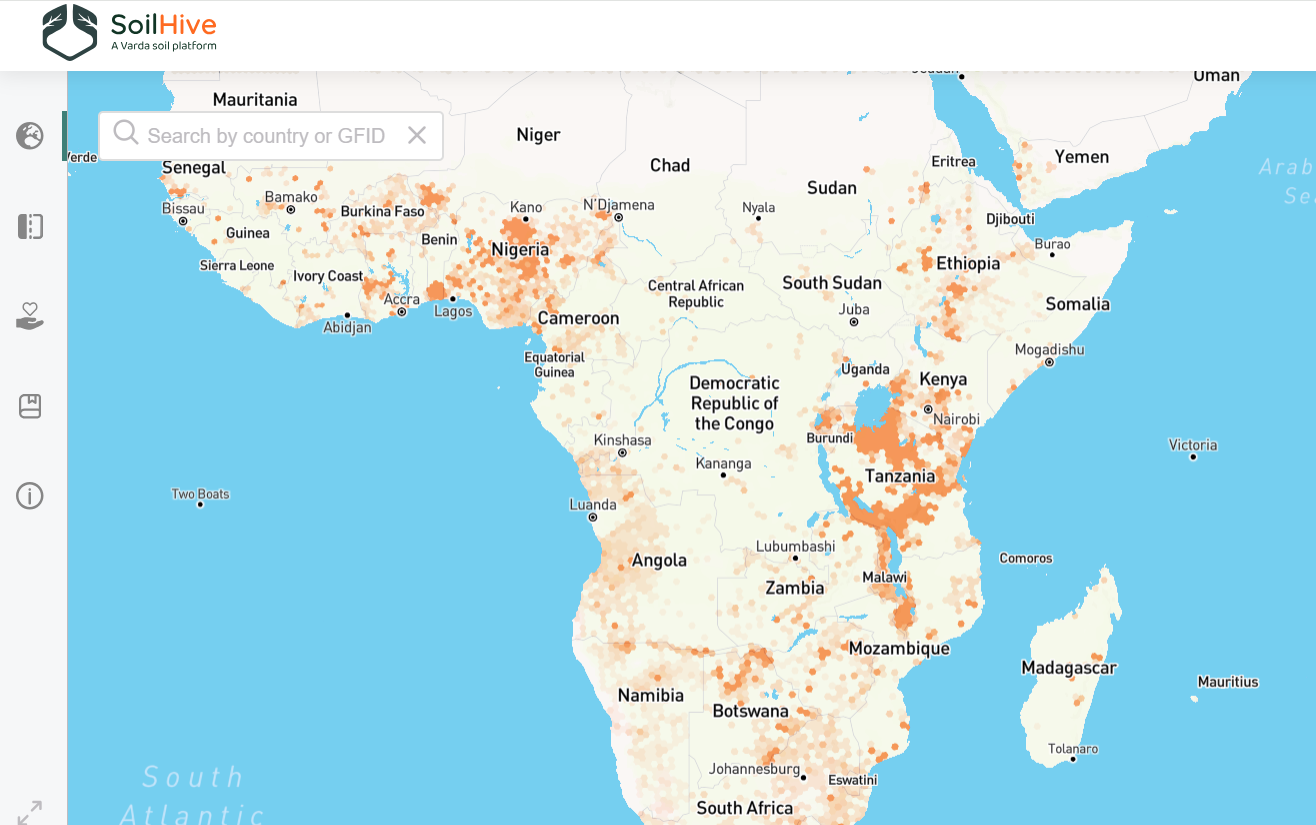
Soilhive
A digital tool to catalyze collaboration within the Food & Ag industry and enable the expansion of soil data availability
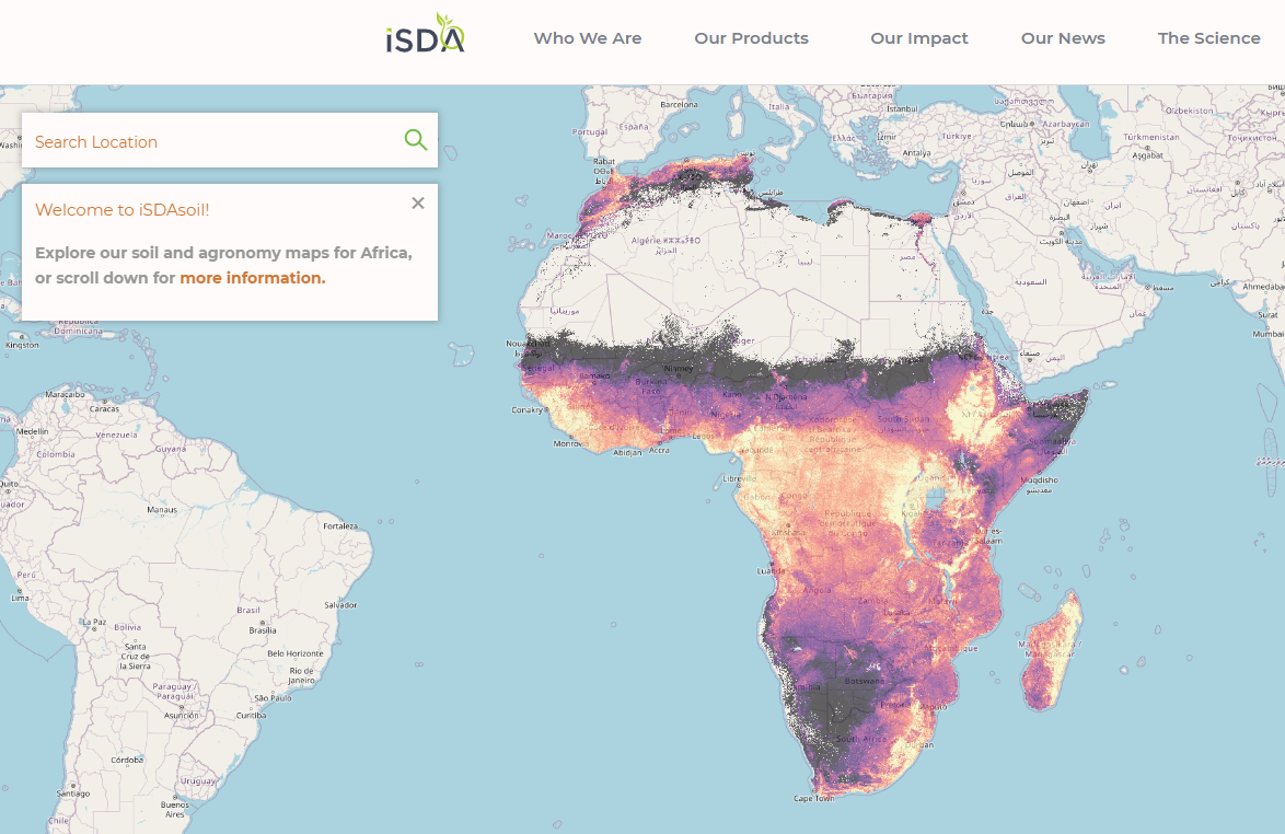
iSDASoil
A field-level soil map for Africa, with 20+ soil properties predicted at 30m resolution for the entire continent.
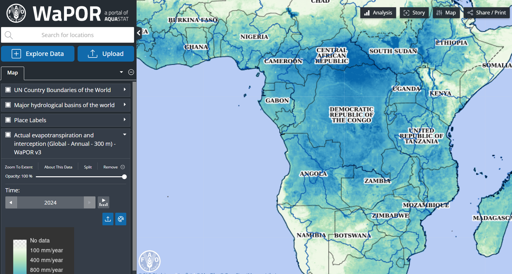
FAO WAPOR
Remote sensing for water and land productivity (WaPOR) is FAO’s portal to monitor Water Productivity through Open access of Remotely sensed derived data. The WaPOR project aims to assist partner countries in developing their capacity to monitor and improve water and land productivity in agriculture, both rainfed and irrigated, responding therefore to the challenges that are posed by the dwindling of freshwater resources and the need to sustain agricultural production to ensure food security in the face of a changing climate.
The first output of the project is the WaPOR database and portal, which provides open access to near-real time information on key land and water variables.
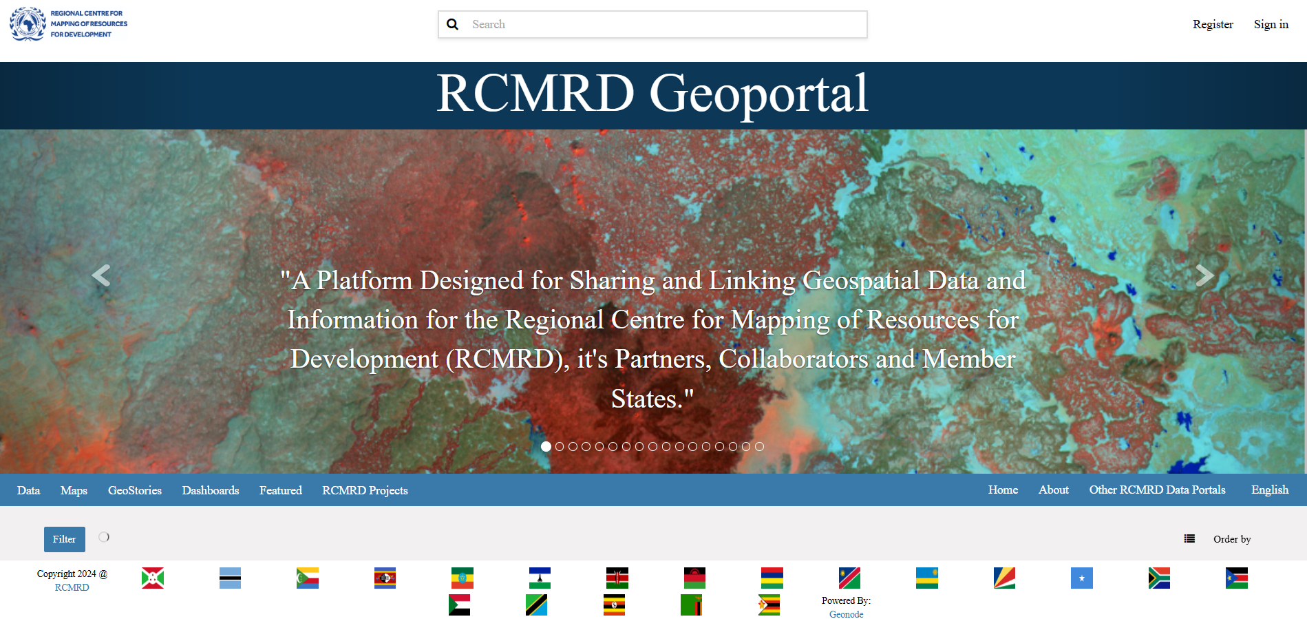
RCMRD Geoportal
A Platform Designed for Sharing and Linking Geospatial Data and Information for the Regional Centre for Mapping of Resources for Development (RCMRD), it’s Partners, Collaborators and Member States.
Africa Soils (AfSIS)
AfSIS aims to empower governmental bodies, NGOs, and private sector organizations working in Africa with precise LULC and environmental mapping and monitoring solutions, fostering sustainable land, soil, and environmental management practices. Through expert analysis, innovative software, and targeted training, we aim to facilitate informed decision-making, promote resilient agricultural and rangeland management, and support the sustainable expansion of croplands and energy infrastructure. Committed to advancing soil health and combating the challenges of urbanization, AfSIS is dedicated to guiding our clients towards evidence-based, sustainable development and environmental stewardship.

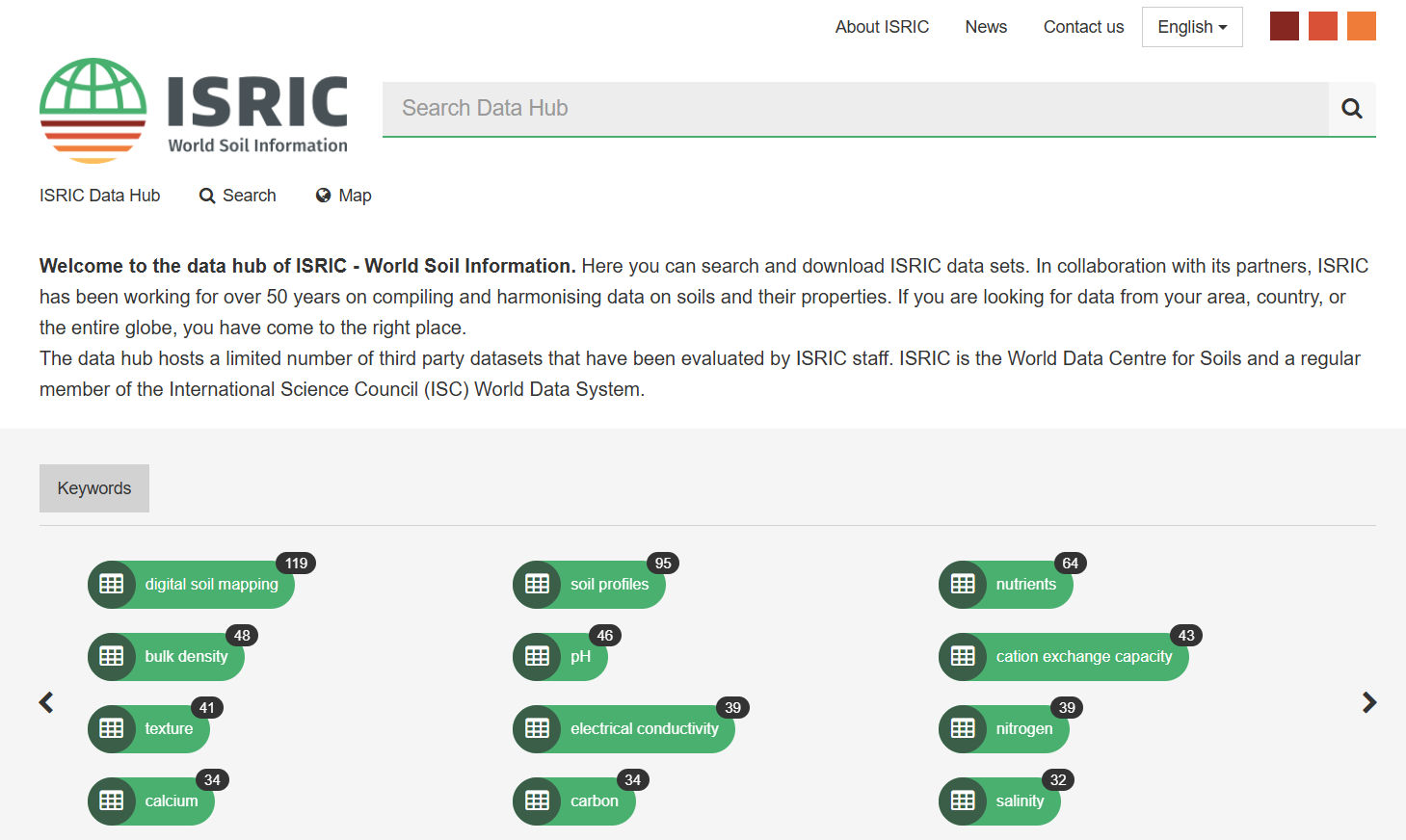
ISRIC Datahub
ISRIC–World Soil Information is an independent science-based foundation with a mission to serve the international community as a custodian of global soil information. We support the development and use of soil information to address global challenges through capacity strengthening, awareness raising and direct cooperation with users and clients.